
Home / Geoscience
Petrophysics
& data science
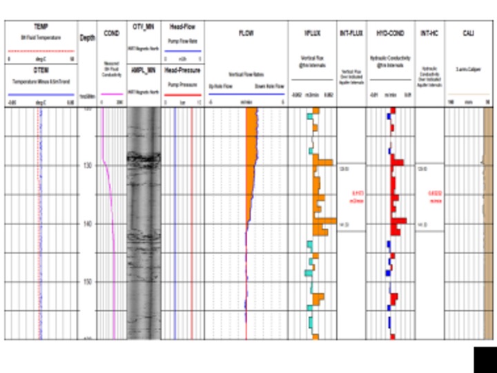
Downhole logs present a detailed plot of formation parameters against depth. Our geoscientists turn that plot into lithology, structure and ore body understanding, by hand where judgement matters and by machine where scale does.
Petrophysics
Digital Surveying's geoscience team reduces, validates and interprets every borehole dataset we acquire, from petrophysical data reduction and manual log interpretation to machine learning lithology classification, and integrates it into your resource, structural and hydrogeological models.
Petrophysics in mining is the study of the physical properties of rocks to support mineral exploration, resource evaluation and extraction planning. Industry best practice meets bespoke data reduction and interpretation workflows that validate and enhance every in-situ dataset we acquire.
- MeasuredDensity · magnetic susceptibility · electrical conductivity · natural gamma · porosity and permeability
- IdentifyRock identification and classification from log response
- CalibrateGround-truth for magnetic and gravity survey interpretation
- GradeOre quality and mineral concentration assessment, predictive assay
- PlanInputs for mine planning and engineering decisions
- MapAlteration zones around deposits
Data science
Interpreters use downhole datasets to identify lithologies, structural features and subsurface ore bodies. The field has moved from manual interpretation to semi-automated interpretations and machine learning, and our dedicated data and geoscientists work across the whole range, matching the sophistication to what the project needs.
- Manual wireline log interpretation
- Semi-automated lithology blocking
- Machine learning classification
- Rapid pay zone recognition
- Fault and foliation orientation analysis
- Integration into resource and structural models

Deliverable
Interpretation reports
Downhole data interpretation with lithology, structure and property logs, delivered in formats that load straight into your modelling software.
Deliverable
Model-ready data
Reduced, depth-matched and QA'd datasets, blocked and attributed, ready for resource, geotechnical or hydrogeological models.