
Home / Services
Digi-Surv™ + Digi-Log™ + Synthesis™
The DEPTHS
framework
Six connected service streams that convert every metre drilled into positioned, decision-ready subsurface knowledge. Know the hole. Position the data. Reduce subsurface uncertainty.
Six streams, one hole
Digital Surveying combines accurate borehole positioning (Digi-Surv™) with high-resolution in-situ wireline logging (the four Digi-Log™ streams), quality assurance and integration-ready answer products (Synthesis™) for mining, infrastructure, water and environmental decisions.
 D · Positioning
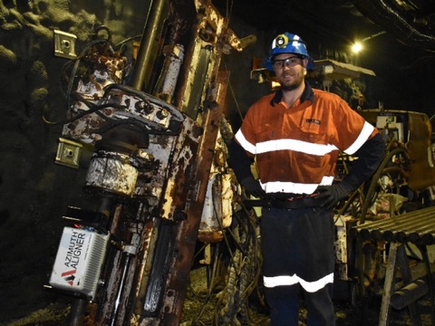
Digi-Surv™
High-confidence geospatial positioning of the borehole and every acquired dataset.
- Collar position & rig alignment
- Magnetic or gyro trajectory
- Depth-referenced 3D path
 E · Monitoring
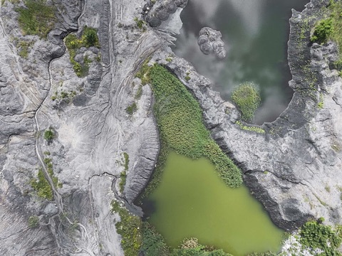
Enviro-Log™
Baseline establishment and monitoring around high-risk infrastructure and groundwater systems.
- Water quality, temperature, conductivity
- Casing & screen condition
- Contamination indicators
 P · Formation
Petro-Log™
In-situ formation characterisation for geological, resource and material understanding.
- Lithology & mineralisation proxies
- Density, radioelements, resistivity
- Susceptibility, porosity, alteration
 T · Geotechnical
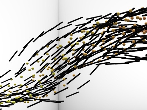
Tech-Log™
Geotechnical and structural characterisation in and beyond the borehole wall.
- Fractures, faults & bedding
- RQD, aperture, borehole condition
- Sonic, elastic properties, radar
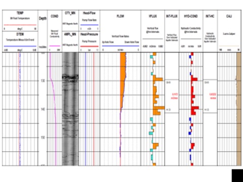
 H · Hydrogeological
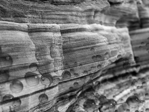
Hydro-Log™
High-resolution, in-situ hydrogeological characterisation for water and excavation planning.
- Aquifer & flow-zone location
- Ambient or induced flow
- Porosity, permeability, conductivity
 S · Integration
Synthesis™
Integrates directional, environmental, petrophysical, geotechnical and hydrogeological evidence into one defensible view.
- Common depth reference
- Interpretation matched to scope
- Integration-ready answer products
Enviro-Log, Petro-Log, Tech-Log and Hydro-Log are the four Digi-Log™ wireline logging streams. Digi-Surv positions them. Synthesis integrates them.
From borehole to decision
A fit-for-purpose workflow built around the engineering or resource question, borehole conditions and required level of interpretation.
Define
Decision objectives, coordinate system, borehole conditions, target parameters and acceptance criteria.
Position
Survey collar, alignment and trajectory so every measurement is placed correctly in 3D space.
Acquire
Deploy the selected Digi-Log suite with calibration, depth control, field repeats and borehole-condition checks.
Integrate
Depth-match and combine survey, image, petrophysical, geotechnical, hydrogeological and environmental datasets.
Deliver
Issue QA/QC evidence, processed logs, interpretations, models and integration-ready answer products.
Client deliverables
- Verified borehole trajectory and common depth reference across all datasets.
- Field and base QA/QC records, calibration evidence, repeatability checks and processed logs.
- Lithological, structural, geotechnical, hydrogeological and environmental interpretations matched to scope.
- LAS, CSV/ASCII, PDF plots and reports, with optional 3D models and advanced Synthesis™ interpretation.
Calibrated tools, repeatable datasets
Every tool is calibrated against known standards before deployment and checked on site. Raw counts are converted to engineering units through documented calibration equations, and QA checks accompany every run, so a change between surveys is a change in the ground, not in the instrument.