
Synthesis™
Digi-Surv™ positions the borehole. Digi-Log™ measures the formation. Synthesis™ integrates the evidence into one defensible subsurface view that your resource, geotechnical and hydrogeological models can use directly.
What Synthesis™ answers
Synthesis™ is Digital Surveying's integration and interpretation service: survey, image, petrophysical, geotechnical, hydrogeological and environmental datasets from a borehole are depth-matched, combined and interpreted by our geoscientists into a single, positioned, QA-backed answer product.
Key answers
- Common depth referenceEvery dataset tied to the verified borehole trajectory and one depth scale
- InterpretationLithological, structural, geotechnical, hydrogeological and environmental interpretations matched to scope
- EvidenceField and base QA/QC records, calibration evidence and repeatability checks
- FormatsLAS, CSV/ASCII, PDF plots and reports that load straight into your software
- ModelsOptional 3D models and advanced interpretation for resource, geotechnical and hydrogeological studies
Applications
- Resource and structural models
- Geotechnical domains and design inputs
- Dewatering and inflow models
- Environmental baselines and licence reporting
- Feasibility and due-diligence studies
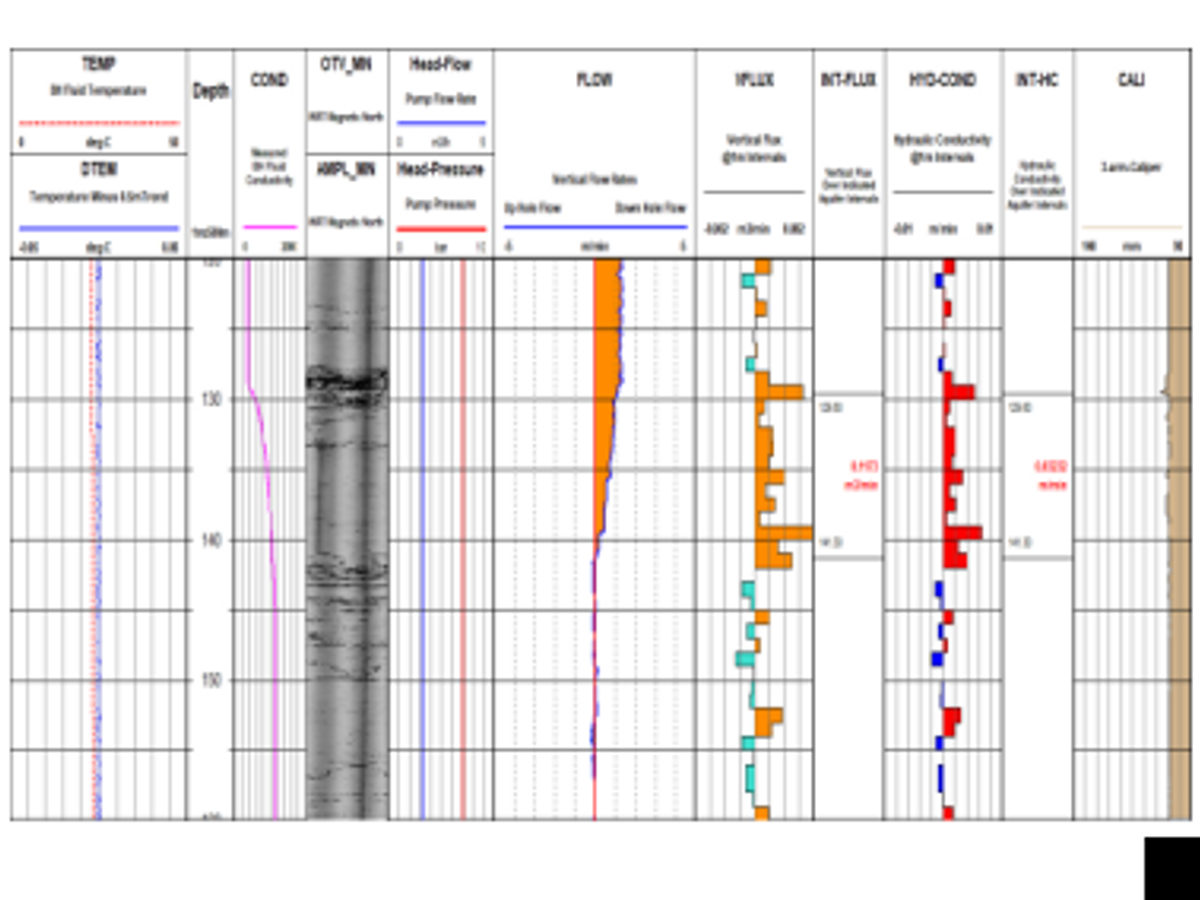
From borehole to decision
A fit-for-purpose workflow built around the engineering or resource question, the borehole conditions and the required level of interpretation.
- 01 DefineDecision objectives, coordinate system, borehole conditions, target parameters and acceptance criteria
- 02 PositionSurvey collar, alignment and trajectory so every measurement is placed correctly in 3D space
- 03 AcquireDeploy the selected Digi-Log suite with calibration, depth control, field repeats and borehole-condition checks
- 04 IntegrateDepth-match and combine survey, image, petrophysical, geotechnical, hydrogeological and environmental datasets
- 05 DeliverIssue QA/QC evidence, processed logs, interpretations, models and integration-ready answer products
Verified borehole trajectory and common depth reference across all datasets. Field and base QA/QC records, calibration evidence, repeatability checks and processed logs. Lithological, structural, geotechnical, hydrogeological and environmental interpretations matched to scope. LAS, CSV/ASCII, PDF plots and reports, with optional 3D models.
Synthesis is delivered by the same petrophysicists and data scientists who reduce and validate every dataset we acquire, so the interpretation starts from the raw counts, not from someone else's export.
Synthesis™ questions
How is Synthesis different from a log report?
A log report presents each measurement. Synthesis answers the question the hole was drilled for, combining every measurement into one interpreted, positioned view with the QA evidence behind it.
Can you integrate data we already have?
Yes. Third-party logs, core logging, assays, geotechnical tests and survey data can all be depth-matched to the verified trajectory and included in the interpretation.
What formats are delivered?
LAS, CSV or ASCII for logs, PDF plots and reports, and model-ready exports for common mining, geotechnical and hydrogeological modelling packages. Tell us what you model in and we will match it.
Do I need all five Digi-Surv and Digi-Log streams for Synthesis?
No. Synthesis integrates whatever was acquired. The more streams a hole carries, the more defensible the answer, but a positioned Tech-Log and Petro-Log pair already produces a far stronger model input than either alone.
More in the FAQ & glossary.